So, I had some training scheduled to take place in NYC before my company announced the layoffs, and luckily for me, they still let me go. The training itself was Tuesday through Friday, and I had somewhere to be on the Sunday after, so had to fly home Saturday. But I wanted to have some time for playing tourist, so I flew in the Saturday before, landing at around three in the afternoon. However, by the time I got my luggage, and the taxi made its way through traffic, and I checked into my room and unpacked, it was dark and I didn't feel much like sightseeing, so I got some dinner (a nice Italian place) and crashed. So we'll call that day zero, and start the blogging with the first whole day I was there, Sunday.
An online friend (who I hadn't yet met, but have "known" for over 15 years) and I had planned to meet up and see the Statue of Liberty together. She lives in New Jersey, and there are two "ports" from which you can reach the statue, one in NJ, so we agreed to meet at that one at 10:30. I didn't want to be late, plus there are some geocaches in Liberty State Park. Plus I'd gone to bed early after having such an early morning the day before, so it wasn't difficult to get up early, even with the time zone change. I love the Google Maps app for getting around on public transportation (or on foot, or driving...). It made it easy to find the nearest subway station that would get me down to the southern end of Manhattan, and then it instructed me to take a brief walk to the PATH train station. On my way, I stopped in a bagel shop and got a salt bagel (yes, that's a bagel absolutely coated in coarse pretzel salt--so good, but SO salty!) with egg salad. Good combo, especially because I like my egg salad saltier than most people make it, so the salty bagel made the whole concoction actually a little too salty, even for me (and I love salt!).
When I got to the PATH station, it had signs (and a cop) saying that it was closed on Sundays. Hm... Googling again didn't help much, because it kept telling me to take the PATH train and didn't really offer any other solutions. Luckily, I remembered seeing both on Google Maps (on a real computer) and on my previous visit a ferry station, so I headed that direction. However, the big metal gates to the ferry terminal were locked. Hm... I stepped over to a bench nearby and started trying to figure out the timing of the ferry route to Liberty State Park, and just then, a guy came to open the gates, and I asked him when the ferry left. 9:00.
It was somewhere below 20 degrees out, and up to this point, I was absolutely fine walking around in the cold. However, when I sat down (even with my scarf between me and the cold metal bench), I quickly got VERY cold. Eventually, I had to get up and pace around just to stay warm. Luckily, the ferry had indoor seating. When I got to Liberty State Park, my first stop was to pick up the tickets at the will call office, and my second stop was in the restroom, where I added workout pants under my jeans and thicker socks instead of the thinner ones I'd been walking in. I was absolutely fine (and sometimes much too warm) the rest of the day.
With about an hour to kill before meeting up with Susan, I set off toward the nearest geocache. Unfortunately, the nearest geocache was not actually NEAR me. It was a little under a mile away. But I set off in that direction, which meant walking along a nice walkway near the water. I took some photos, and wondered to myself whether the island with the bridge to it was Ellis Island. Turns out, it was. Ha!
 |
| Panorama with my iPhone. South end of Manhattan on the left, Ellis Island in the middle, Statue of Liberty to the right of that. Click to embiggen. |
 |
| I think that might be an otter or something at the bottom. I watched for a while, but never saw it surface again. |
At some point, I realized I wasn't going to make it to the geocache and back again in time, so I turned around and headed back. Susan beat me to the ferry terminal area by just a minute or so--pretty good timing. We had to go through security to get on the ferry, but it wasn't too rigorous--I didn't have to take off my belt for the metal detector, and they didn't confiscate my (hotel) pen, even though the website says they don't allow writing instruments.
And then, we landed at Ellis Island, much like our ancestors might have, though after a much shorter boat ride, and without having to endure as much rigamarole upon our arrival.
 |
| The "luggage room," where we arrived much as the immigrants did |
We walked through an exhibit about immigration past and present, which was sobering--it's amazing how sentiments haven't really changed, just the target of the ire about people immigrating and somehow mucking it up for those who feel like their family should have been the last one allowed to immigrate. It just changes from "those darn Irish" to "those darn Chinese" to "those darn Mexicans" over time, apparently.
 |
| The Great Hall, used to interrogate immigrants and make sure that women arriving alone had a man to escort them off Ellis Island and presumably "watch over" them when they arrived at their destination. |
 |
| (Yep, Susan, I photoshopped it!) |
 |
| Tree bark back outside the building |
Then we got back on the ferry and went to Liberty Island to see Lady Liberty up close. We weren't able to purchase tickets to climb the stairs up to the crown (and they no longer allow people into the torch), but we did get tickets to go up into the pedestal, which is actually quite tall all on its own.
 |
| View from the boat |
 |
| What better place to take a flag photo than Liberty Island? |
 |
| The ferry docks behind the statue, which is also where most of the land mass of the island is, and hence the visitor areas |
 |
| There was a museum inside the base of the pedestal, which included this early version of the torch. |


We had to go through MORE security to go up inside the pedestal--this time a little more rigorous and with a more sensitive metal detector. However, they did have lockers to stow most of your belongings, so Susan and I each got one for our purses, and just carried our cameras up into the statue. To the top of the pedestal, there's the option of stairs or elevator. We both chose the elevator. :-) However, to go any further (into the statue itself if you've gotten a crown tour), the stairs are the only allowed method. They actually DO have an elevator (not sure how far it goes), but it's for emergencies only. It's cool that they have a glass floor/ceiling between the top of the pedestal and the bottom of the statue. You could theoretically see all the way to the crown, I'd imagine, if there was a clear sightline. In reality, there's not really a clear sightline, plus there's the whole reflection thing...


There are outdoor walkways at every "floor" of the pedestal, so we'd go outside, make a circuit around, go back inside and down a flight of stairs, then another circuit around that lower level, and so on.
 |
| One of the Statue ferries. Susan says in the summer, they're PACKED. I couldn't believe how many people were on the top (uncovered) deck in the bitter cold. |
 |
| Copper corrosion residue seeps down through the pedestal, leaking out at various places. Kinda cool looking. |
 |
| It's cool getting an up close look at the statue from a unique angle |
 |
| We actually took a lot of "up-skirt" shots. :-) |
 |
| Later, and when we were a little lower down, there was a pretty big choir singing around the base of the flag, in another language. German, I think it was? |
Finally, our pedestal tour was over, so we went down through an area with presumably some original brick that beckoned for photographs...
Then back to our lockers, and back through the museum to see what we had missed on our first trip through.
 |
| Some great quotes about liberty and freedom |
 |
| Life-size replica of Lady Liberty's well-manicured toes |
 |
| Life-size replica of Lady Liberty's face, though it looks much more masculine without the hair and crown, right? |
When we were done with our tour, I realized that I could take the Liberty ferry back to Manhattan rather than NJ, and avoid paying again for the return ferry from NJ to Manhattan, as well as saving a little time. They don't look at your tickets to make sure you're headed back to the same port from whence you came, so Susan and I said our goodbyes, and I headed back to Manhattan.
 |
| And old brick building, probably a bunker, in Battery Park in Manhattan |
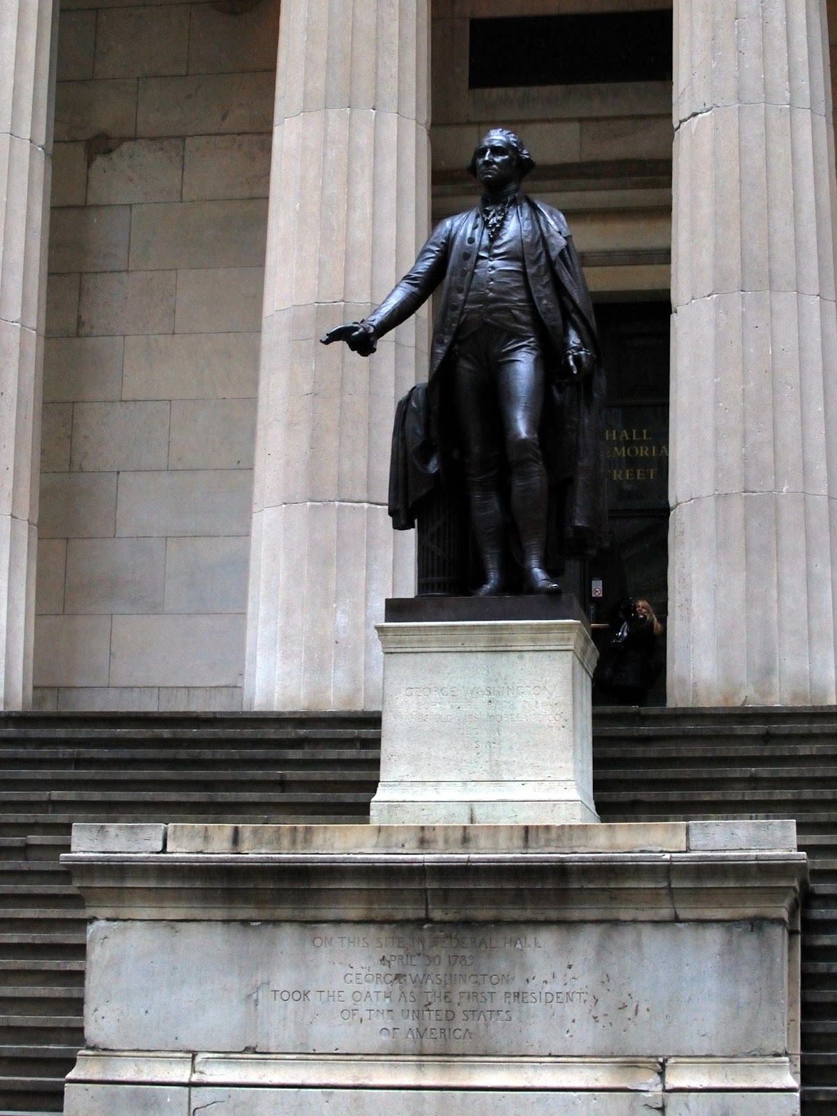
I found a geocache in Battery Park, then headed north a little into the financial district, which is mostly filled with tall shiny skyscrapers (see the photos above from NJ and/or Ellis/Liberty Islands) but has pockets of old streets and buildings and neighborhoods.
 |
| There was a geocache hidden near here, but I wasn't able to find it. |
 |
| An old cathedral peeking between much more modern buildings |
Eventually my feet started getting tired, so I pulled out Google maps and navigated my way to the nearest subway station, and then to the subway station nearest my hotel on that line, which happened to be Grand Central Station. I'd been to GCS on my last visit a year and a half prior, but of course I still had to stop and gawk. I didn't take as many (or as good?) photos, but here's one.

I stopped at a total DIVE of an Indian restaurant, but it was busy and the food was good. There were two guys, one much better dressed than the other, at the table next to me. My first thought (I watch too much Law & Order) was that one was a detective and was interrogating the other guy, but he was being much too nice, and listening quite patiently even through the other guy incriminating himself, so then I wondered if it was a reporter interviewing someone, then landed on an attorney interviewing his client. I think that's what it was. Anyway, then I finally headed back to my hotel and crashed, exhausted.